Metro
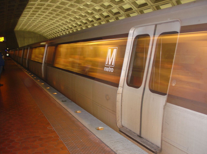
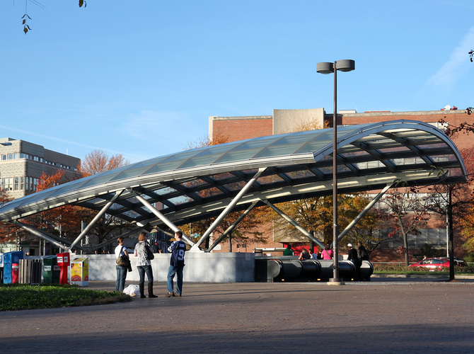
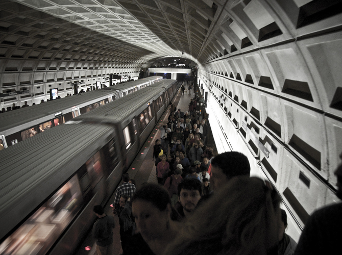
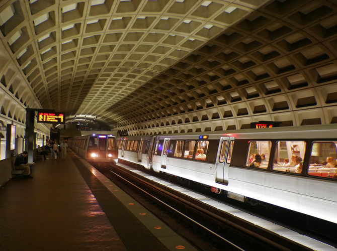
Washington DC's Metro system is a great way to get to hundreds of popular locations and attractions in and around Washington DC. Metro's six lines and 91 stations are located in Washington DC and neighboring Virginia and Maryland. With over 700,000 trips every weekday, the rail system provides easy access to popular attractions including the National Mall, National Zoo, White House, Washington Nationals Park, and much more. The system also provides access to other area transit options, including a station at Ronald Reagan Washington National Airport and Union Station (with Amtrak, MARC, and VRE train service), and MetroBus express routes to to Dulles International Airport and Baltimore Washington International Airport.

10 Metro Stops for Top DC Attractions
If you’re visiting the Nation’s Capital, chances are pretty good that you’re looking forward to take it all on. See our list of the top 10 metro stations you need to know to visit the area's most popular attractions.

DC Metro Map
The first step to planning your trip is the DC Metro Map. Find the stations near your destination and learn about the Metro System on DC Transit Guide's Metro Map.

Metro Lines
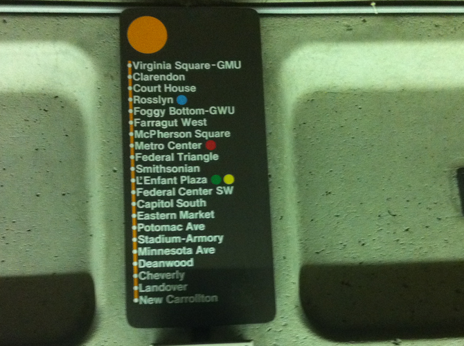
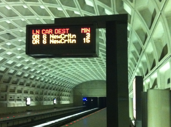
Explore Metro's six lines, and plan your route. Select individual stations to view live next train predictions, learn about nearby attractions, and see parking details for each station.

SmarTrip
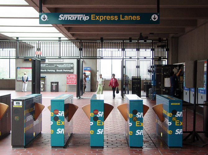
Pay for your trips with the convenient and reusable SmarTrip card. SmarTrip cards offer an convenient and cost saving way to pay for DC area transportation systems.

Rider Details
Details on Metro's hours, price stricture, taking your bike, and more.

10 DC Metro Tips and Tricks
Check out these 10 tips that everybody should know before they get to the nation's capitol and onto the DC Metro.

Metro FAQs
A collection of some of the most common questions about riding and navigating the DC Metrorail system.
Metro articles

